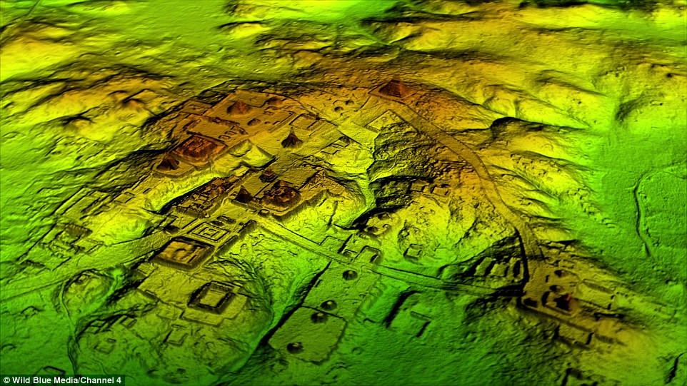
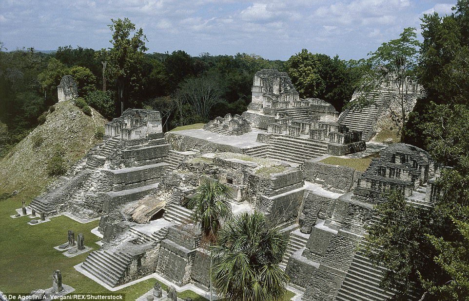
Robert sent in the link www.dailymail.co.uk/sciencetech/article-5343567/Thousands-Mayapyramids-p… … which concerns the use of LIDAR technology to peer through the tree canopy and image the ground surface below. We have seen it in action in the UK producing stunning results by looking at the woodland floor. Now the technology has been applied to the tropical forest zone of central America. In this instance, Guatemala – where an astonishing amount of Mayan archaeology has been revealed. All they have to do now is beat a path through the jungle.
More than 60,000 previously unknown Maya structures, including pyramids, palaces, causeways etc, have been revealed. The civilisation is said to have peaked 1200 years ago, which is around AD800 – when it began to fall into decline. Currently, the Maya civilisation is dated 1000BC to AD900 and the collapse is blamed on a lengthy drought. This appears to coincide with changes in the Tropical Rainfall Belt. Reality is probably a lot more complex. What was going on prior to 1000BC?
See also https://anthropology.net/2018/02/02/maya-megalopolis-found-after-lidar-s… … where we are told the population may have been as high as 15 million people. That is a lot of people to disappear in a short time. Jovan also sent in the link to the same story at www.ancient-origins.net/news-history-archaeology/laser-scans-reveal-6000…